
Real Estate market these days is undergoing consolidation.
It is yet to be understood as to how long this phase will last. A slew of control measures like hike in tax, change in procedures and money market restrictions caused this sudden brake. Previously it was moving up in high speed as far as sales and price realizations were concerned. Some people argue that this is the best time to buy while others say no. I want to bring out a change in the way people think about market conditions. Earlier people were just following broker’s rumor mills and speculative trading was rife. All these rumors were based on broker’s word and people trusted him. In most occasions he delivered on his promise except in the last leg of the rally. Now people got caught and stuck in inflated real estate prices. Genuine buyers also hesitate to buy in such a bubble market. Here, what people must realize is that they need to make evaluations on real estate based on credible and sound reasons. Geographic Information System (GIS) can help them to assess the valuation and judge the validity of prices or future potential.
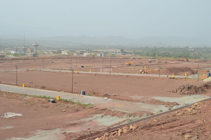
GIS creates database about real estate also, in addition to the variety of data that it stores. For any real estate, the major element affecting value is “location” of the asset. For a land bank to be saleable, it should be within certain limits of major roads and other major facilities like hospitals, school, colleges, markets and recreation facilities. The distance from and to decides value. Besides, land type, land zone, classification of the area whether municipal or local community etc , proximity to water resources, water quality data, air quality data, etc are also major factors that decides value. The GIS database with all these data displays this information graphically and all these displays are having proper geographic references such as latitude and longitude values. With a GIS data base and map in front a buyer can quickly understand the value against what is told to him. Similarly he can also calculate and judge whether a particular land is worth buying for future use or trading. He can also bargain based on this information, no matter what the seller furnish about the details. Similarly a seller can also use the same information to promote his product (land/building) to potential buyers and can convince them of future potential. Any salability is dependent on the data input and careful and informed data can perform its role for decision making as far as buying or selling property is concerned.
In the developed world, agencies are using GIS to promote real estate. We may argue that we are a different market and civilization. But it is quite certain that the world is becoming one in more ways than one in using all the applications and tools available to market products. Moreover in this difficult phase of real estate market stagnation, ways and means of boosting investor confidence, land development initiatives, employment opportunities etc. must be owned and practiced. In this context GIS becomes a vital tool to perform the task of understanding real estate market value and future growth prospects. Azurite Technologies has the capability to do the above said exercises in GIS.
Reference: azurite