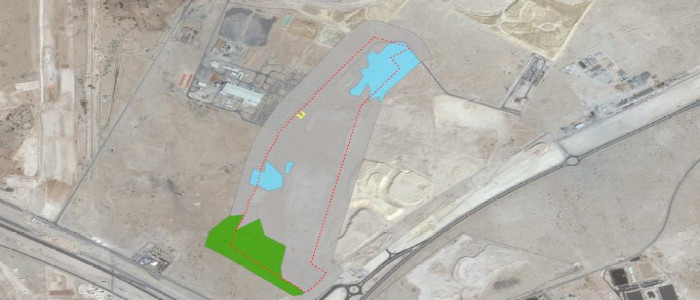
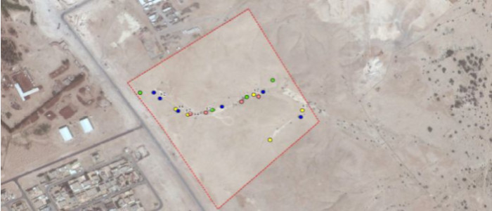
Dubai Canal Monitoring – Dubai

The scope is to provide GIS services to the client to prepare environmental monitoring location maps including (Air Quality, Noise and Vibration) using KMZ and Satellite Imagery. We have converted all data from different sources to DLTM coordinate system to meet the standards set by Environmental Agency for further approvals.

Greenline Stabling Yard – Qatar

The scope of our services is to provide GIS services to the client to prepare habitat mapping and shape files to submit to Environmental Protection Agency (EPA Qatar) for approvals.
We also support our client in procurement of high resolution multi-band satellite imagery and produce habitat maps using classification and ground verification methods.

Al Kheesa Logistics Yard – Qatar

The scope of our services is to provide GIS services to the client in preparing ecology maps and GIS datasets (shape files) required for NOCs from Environmental Protection Agency (EPA) for approvals. We also support our client in procurement of high resolution multi-band satellite imagery and produce series of environmental maps using primary and secondary datasets.

Sharq Crossing EIA – Qatar

The scope of our services is to provide GIS support to environmentalist for mapping and analysis of the following datasets during the project.

Acoustic baseline monitoring
Geotechnical investigation baseline monitoring
Air quality baseline monitoring
Noise monitoring plans
Marine ecology survey
Water and sediment quality survey
Hydrodynamics
Casting basin water and sediment quality survey
and Sensitive receptors and Seagrass surveys

Al Manakher Solar PV Plant – Jordan

The scope of our services is to provide GIS services to the client to prepare hydrogeological maps of the area and assist in proposing Gas & Water Pipeline, and electrical transmission line between IPPs at different location and to Al Manakher Solar PV Plant (Phase 1).