
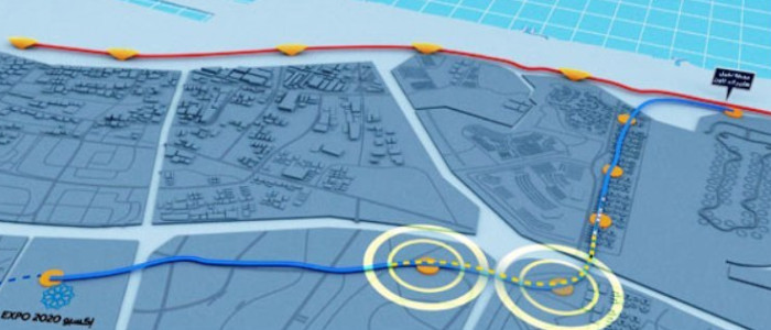
The scope of our services is to provide GIS services to the client in preparing GIS plans for environmental monitoring location (Air Quality, Noise and Vibration) using KMZ and Satellite Imagery. We have converted all data from different sources to DLTM coordinate system (Dubai Local System) to meet the standards set by Environmental Agency for further approvals.
Services Provided: GIS Mapping, Image Processing, Habitat Mapping
Client: Anthesis Middle East
Project Location: Dubai, United Arab Emirates
Status: Completed (2018)