
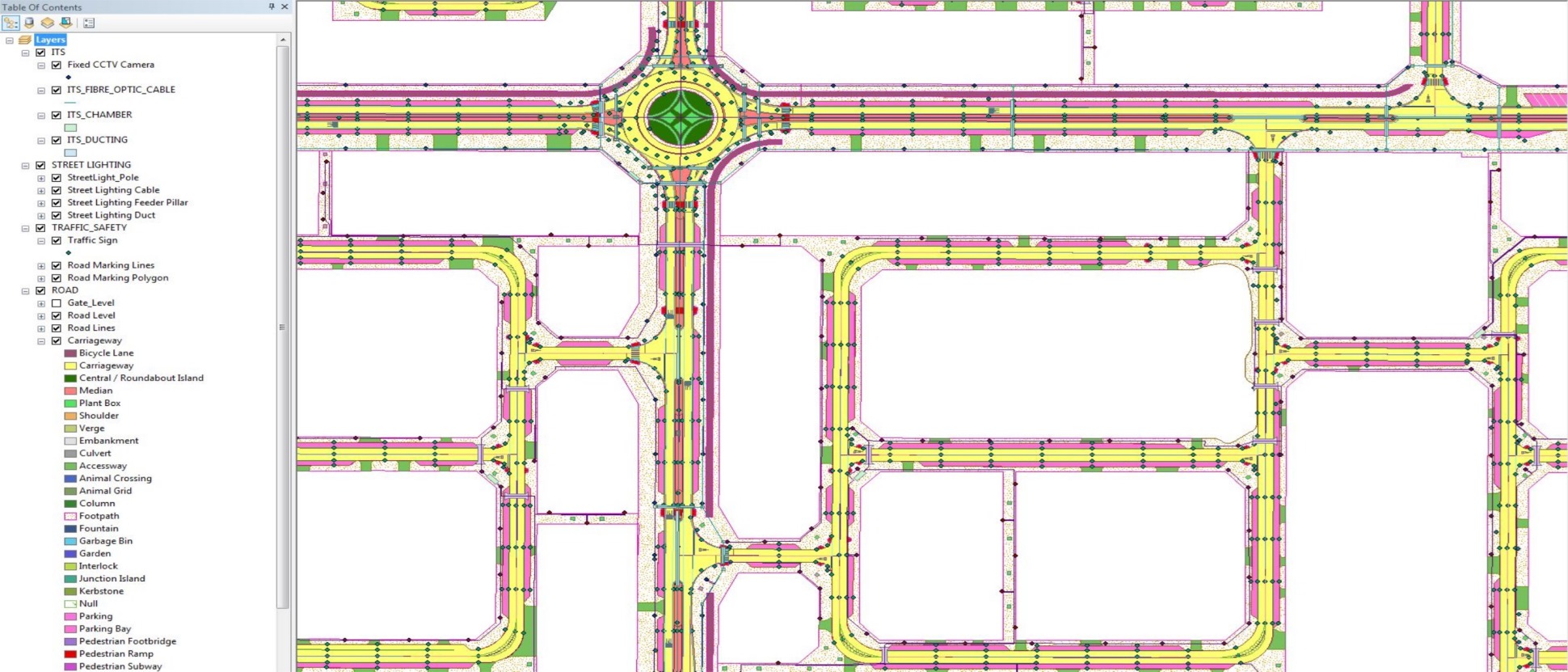
CAD to GIS Conversion
Technical involvement in the development of GIS database for Concept Design, Detail Design and As-Build drawings for roads, electrical & street lighting, telecom, potable water, storm water, sewer and TSE for Asghal (the client). Convert all drawings from AutoCAD to GIS within ESRI environment. Technical support (GIS) to geotechnical and environment teams in obtaining NOCs from Environment Protection Agency (EPA) Qatar. Worked closely with program management (PMC) and engineering design consultants for the development and implementation of GIS standards on spatial data and on engineering drawings.
The above services are provided in the following projects under Contract 2 (Qatar North).
– QN002 Roads and Infrastructure – Al Thakira
– QN004 Roads and Infrastructure – Al Khor Industrial Area
– QN006 Link Road-Umm G and Aba E
– QN076 Al Jemailya Village
– QN078 Al Ghuwairiya to Al Jimiliya Link Road
– QN079 Jemailya to Dukham Link Road
– QN083 Al Ghezlaniya to Aba Erbayyat Link Road
– QN085 Al Nouman Road
Services Provided: CAD to GIS conversion, GIS database development
Client: Ashghal, PWA Qatar / WSP Middle East
Project Location: Qatar
Status: Completed (2018)